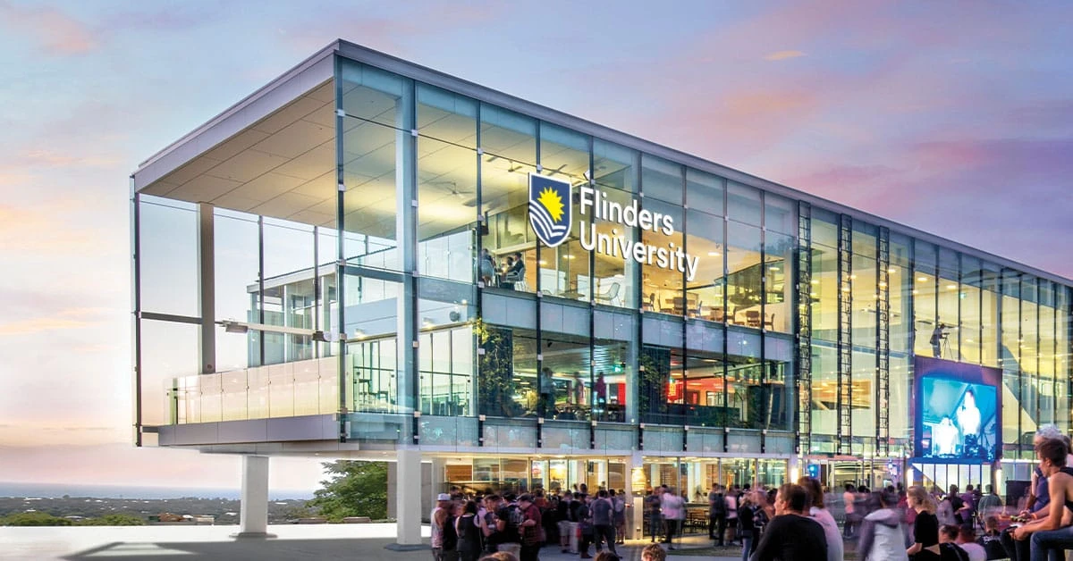
Bachelor of Geospatial Information Systems at Flinders University in Adelaide, Australia is a bachelor's degree in General Engineering programme. The programme runs for 3 years, delivered on campus. Teaching is in en. Tuition for international students is AUD 43,600 per year (AUD 8,016 per year for local students).
At a glance
Degree:Bachelor's Degree
Field:General Engineering
Duration: 3 years
Delivery: On Campus
Language: en
Local tuition: AUD 8,016 / year
International tuition: AUD 43,600 / year
We have no an application deadline on record for this programme yet — see the official programme page.
— it helps other students.
Mapping, remote sensing and spatial data come together in this three-year undergraduate course, which sits between science, technology and field exploration. Students learn to collect geographic information with drones, satellites and specialist software, then examine it to address problems such as shifting climates, expanding cities and defence needs.
Spatial skills are valued across many sectors, including emergency response, farming and the planning of connected urban areas. Projects and fieldwork give students repeated practice using maps, datasets and new ideas to make a practical difference. Career options include working as a transport and infrastructure planner, where spatial analysis helps shape efficient, sustainable networks for growing communities.
Classes are delivered in person at Bedford Park, with entry in March or July. Students can study abroad and gain practical experience. A science pathway is available for those who do not meet direct entry requirements, and part-time study is not offered to international students.
Requirements
Admission Requirements: Guaranteed Entry ATAR 75.00; STAT 150.0; GPA 4.5; TAFE/VET Certificate IV or above. Prerequisites: none.