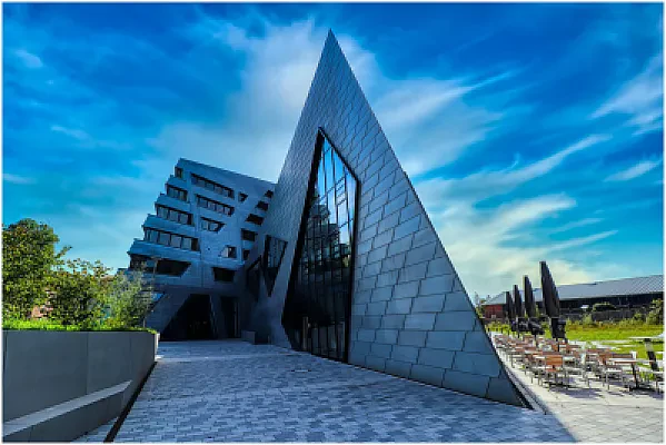
Master's in Geomatics
Cuenca, Azuay, Ecuador
Official program page (opens in a new tab)
Master's in Geomatics at Universidad del Azuay in Cuenca, Ecuador is a master's degree in Civil Engineering & Construction programme. The programme runs for 2 semesters, delivered in a hybrid format.
At a glance
We have no tuition fees or an application deadline on record for this programme yet — see the official programme page. — it helps other students.
Last checked November 2026 · Source: posgrados.uazuay.edu.ec ·
Program details
Overview
Requirements
Application Details
About Universidad del Azuay
View the full Universidad del Azuay profile
Similar programs in Ecuador
More programs at Universidad del Azuay
Other universities in Ecuador


Frequently asked questions
Universidad del Azuay awards a Master's Degree in the field of Civil Engineering & Construction on completion of this programme.
The programme runs for 2 semesters.
Partly — the programme uses a hybrid format combining online and on-campus study.
Studying in Ecuador: guides and resources



Spotted something outdated or missing?
Help us keep this page accurate — it takes about 30 seconds.
Save this program and never miss its deadline
Save universities and programs, follow countries, and get deadline reminders by email. Free, takes a few seconds.