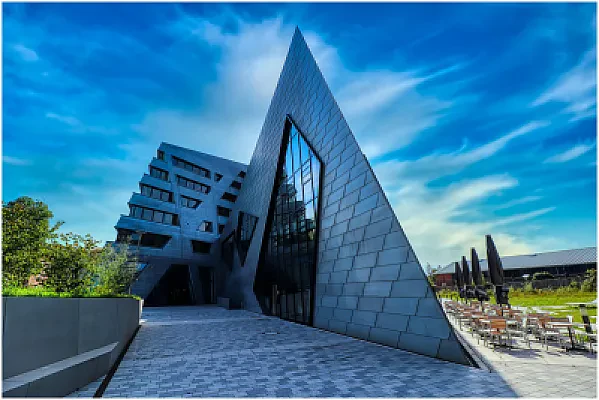
Offered by DIT University in Dehradun, India, M.Sc. Remote Sensing and GIS is a master's degree in Civil Engineering & Construction programme. The programme runs for 2 years, delivered on campus.
At a glance
Degree:Master's Degree
Field:Civil Engineering & Construction
Duration: 2 years
Delivery: On Campus
We have no tuition fees or an application deadline on record for this programme yet — see the official programme page.
— it helps other students.
This is a 2-year postgraduate programme at DIT University in Dehradun, Uttarakhand, India. The geospatial science programme develops skills in remote sensing, geographic information systems, photogrammetry, UAV-based surveying and spatial modelling.
Theory is combined with intensive practical training in geospatial software, programming and machine learning applied to natural resources. Curriculum details, the course structure and the list of subjects for each semester are given on the programme page, which interested readers can consult directly.
Applicants should read the entry requirements on the programme page of the university website, because the selection route differs by course. The university also publishes scholarship details and a fee structure for newly admitted students, and prospective candidates can contact the admissions office in Dehradun for guidance before applying. Current notices about counselling, registration and scholarships are posted on the admissions section of the university website, and applicants are advised to check them regularly because dates and procedures can change from one admission cycle to the next.
Requirements
Admission Requirements: Graduates with 50% aggregate in Engineering (Civil/ECE/EEE), Physics, Mathematics, Computer Applications, Computer Science, Geology, Geography, Environmental sciences, Agriculture or other listed earth and ocean science disciplines, or equivalent.
Type
Test
Min / Max
Status
Notes
Gpa
—
50.00 percent
Required
Minimum aggregate marks in the qualifying examination, as stated on the programme page