Master Géomatique
Strasbourg, Grand-Est, France
Official program page (opens in a new tab)
Master Géomatique is a master's degree in Geographical Information Systems programme taught at ENGEES in Strasbourg, France. The programme is delivered on campus.
At a glance
We have no tuition fees or an application deadline on record for this programme yet — see the official programme page. — it helps other students.
Last checked October 2026 · Source: formations.unistra.fr ·
Program details
Overview
Requirements
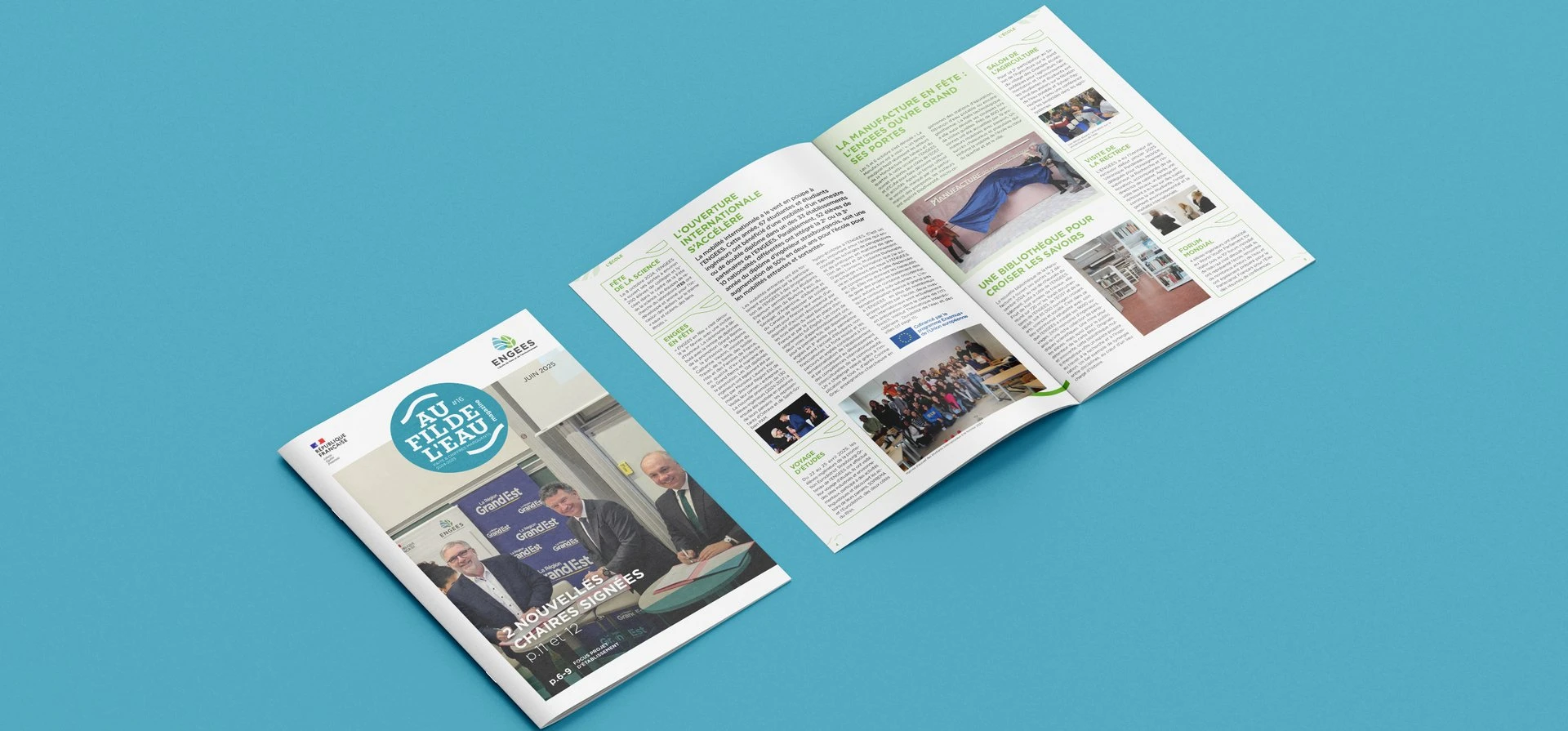
About ENGEES

Similar programs in France


More programs at ENGEES
Other universities in France


Scholarships in France
- Aide à la mobilité internationale — EUR 400
- Bourse sur critères sociaux — EUR 6,335
- Erasmus+ mobility grant
- ESSEC Foundation Need-based Scholarship — EUR 20,000
- France Excellence Eiffel Scholarship — EUR 1,200
Frequently asked questions
ENGEES awards a Master's Degree in the field of Geographical Information Systems on completion of this programme.
No — the programme is taught on campus at ENGEES.
Studying in France: guides and resources



Spotted something outdated or missing?
Help us keep this page accurate — it takes about 30 seconds.
Save this program and never miss its deadline
Save universities and programs, follow countries, and get deadline reminders by email. Free, takes a few seconds.