Master of Science in Engineering in Geospatial Data and Positioning Technology

University of Gävle

Gävle, Gävleborg, Sweden

Official program page (opens in a new tab)

University of Gävle offers Master of Science in Engineering in Geospatial Data and Positioning Technology, a master's degree programme in Gävle, Sweden. The programme runs for 2 years, delivered on campus. It carries 300.0 credits.

At a glance

Degree: Master's Degree
Duration: 2 years
Delivery: On Campus
Credits: 300.0

We have no tuition fees or an application deadline on record for this programme yet — see the official programme page. — it helps other students.

Last checked October 2026 · Source: edu.hig.se ·

Program details

Overview

This Swedish-taught master programme in geospatial data and positioning technology is studied full-time on campus in Gävle. Courses cover applied programming, multivariable calculus and mathematical statistics for engineering, real properties and land use, measurement uncertainty, optics and waves, geospatial modelling and BIM, and GIS analysis. The programme includes courses on positioning technology and Python programming. Courses are 7.5 credits each and run half-time across study periods P1 to P4, with the final stage being a degree project.

Requirements

Admission Requirements: Not yet summarised here; see the official programme page.

About University of Gävle

Type: University
Control: Public
Students: 16,000
Programs: 73
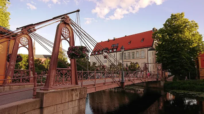
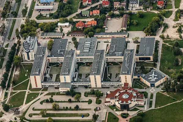
Location: Gävle, Gävleborg, Sweden
University of Gävle student life
1 / 3

View the full University of Gävle profile

More programs at University of Gävle

Other universities in Sweden
Scholarships in Sweden

  • CSN Student Grants and Loans
  • SI Pioneering Women in STEM — SEK 12,000
  • SI Scholarship for Global Professionals — SEK 12,000

Frequently asked questions

What degree does Master of Science in Engineering in Geospatial Data and Positioning Technology award?

University of Gävle awards a Master's Degree on completion of this programme.

How long does Master of Science in Engineering in Geospatial Data and Positioning Technology take?

The programme runs for 2 years.

Can Master of Science in Engineering in Geospatial Data and Positioning Technology be studied online?

No — the programme is taught on campus at University of Gävle.

Browse all articles →

Spotted something outdated or missing?

Help us keep this page accurate — it takes about 30 seconds.

Free calculators and converters to plan your study-abroad journey.

Latest Articles

Fresh guides and advice for studying abroad.

View all →

Compare Compare